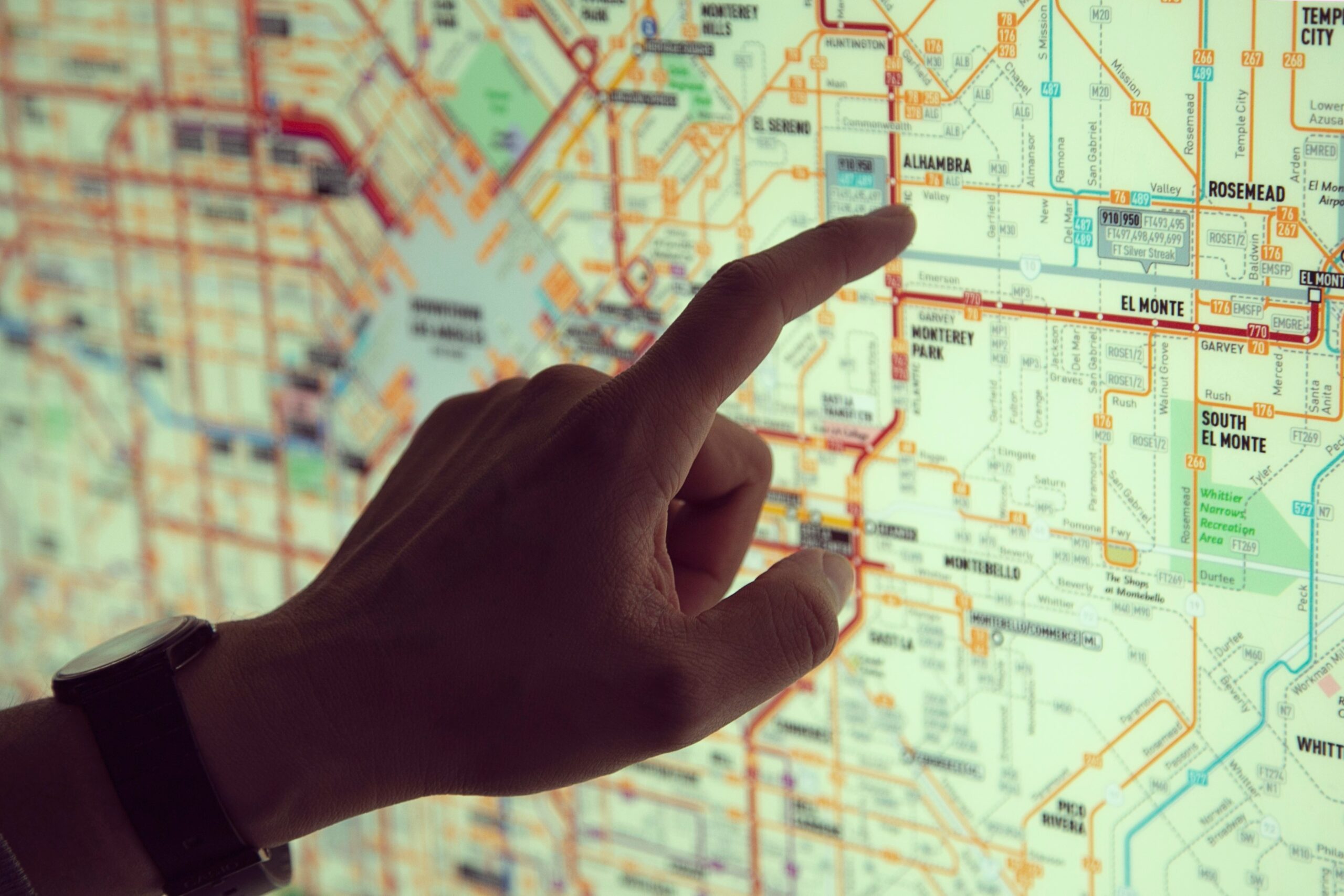
In today’s hyper-connected world, location-based services have become an integral part of our digital experience, enabling us to navigate the physical world with ease and precision. At the heart of these services lies geotagging, a powerful tool that adds geographic metadata to digital content, providing valuable context and insights into the places we visit and the moments we capture. Join us on an illuminating journey as we delve into the world of geotagging, uncovering its mechanisms, applications, and implications for privacy and security.
Understanding Geotagging
Geotagging is the process of adding geographical identification metadata to various forms of digital content, including photos, videos, social media posts, and other digital files. This metadata typically includes latitude and longitude coordinates, altitude, and timestamp information, allowing users to pinpoint the exact location where the content was created or captured. Geotagging enhances the context and relevance of digital content, enabling users to organize, search, and share their experiences based on location.
The Evolution of Geotagging
The concept of geotagging has its roots in the early days of digital photography, where GPS-enabled cameras and smartphones began embedding location data into photos and videos. Over time, geotagging capabilities have expanded to include a wide range of devices and applications, from social media platforms and mapping services to fitness trackers and smart home devices. Today, geotagging is seamlessly integrated into the fabric of our digital lives, shaping how we interact with and experience the world around us.
How Geotagging Works
Geotagging relies on GPS (Global Positioning System) technology, which uses a network of satellites to determine the precise location of a device on Earth. When a user captures a photo or creates digital content with a GPS-enabled device, the device automatically records the current location coordinates and embeds them into the metadata of the file. This geotagged information can then be accessed and displayed by compatible software and services, providing users with valuable context about the content’s origin and location.
Applications of Geotagging
Geotagging has a wide range of applications across various industries and domains, including:
- Travel and Tourism: Geotagged photos and reviews enable travelers to discover new destinations, plan trips, and share their experiences with others.
- Social Media: Geotagged posts and check-ins allow users to share their location with friends and followers, discover nearby events and businesses, and participate in location-based social networks.
- Mapping and Navigation: Geotagged data powers mapping and navigation services, providing accurate directions, real-time traffic updates, and location-based recommendations to users.
- Environmental Monitoring: Geotagged data is used to track and analyze environmental phenomena, such as wildlife migration patterns, natural disasters, and climate change impacts, enabling researchers and policymakers to make informed decisions.
Privacy and Security Considerations
While geotagging offers numerous benefits, it also raises concerns about privacy and security:
- Location Privacy: Geotagged data can reveal sensitive information about an individual’s whereabouts, activities, and preferences, posing risks to personal privacy and safety.
- Data Security: Geotagged data may be susceptible to unauthorized access, interception, or misuse by malicious actors, leading to privacy breaches and security vulnerabilities.
- Stalking and Harassment: Geotagged content can be exploited by cyberstalkers and online predators to track and target individuals, posing risks to personal safety and well-being.
- Consent and Control: Users should have the ability to control and manage their geotagged data, including the option to opt out of geotagging features and settings, and to delete or remove geotagged content from public view.
The Future of Geotagging
As technology continues to evolve, the future of geotagging is marked by several trends and developments:
- Enhanced Accuracy: Advances in GPS and location-based technologies will improve the accuracy and precision of geotagging, enabling more reliable location tracking and identification.
- Augmented Reality: Geotagged data will play a crucial role in augmented reality (AR) experiences, overlaying digital content and information onto real-world locations and environments.
- Privacy-Enhancing Technologies: Innovations such as differential privacy and secure multiparty computation will enable users to share geotagged data while preserving privacy and confidentiality.
- Ethical and Legal Frameworks: Policymakers and regulators will develop ethical and legal frameworks to govern the collection, use, and sharing of geotagged data, ensuring transparency, accountability, and user rights in the digital age.
In conclusion, geotagging has transformed how we interact with and experience the world, enriching digital content with valuable location-based context and insights. From sharing travel adventures to discovering local businesses, geotagged data has become an indispensable part of our digital lives. However, as we embrace the benefits of geotagging, it is essential to address the associated privacy and security concerns, ensuring that users have control over their geotagged data and that ethical and legal safeguards are in place to protect privacy and promote responsible use. As we navigate the evolving landscape of
Share via:


